
Verified views & planning visuals
AVR (Accurate Visual Representations), Verified Views, CGIs & photomontages, LVIA, TVIA & Heritage images, wireline & parameters, planning animations, augmented & virtual reality…
Let’s get accurate. Preconstruct has over 20 years of experience depicting the proposed built-environment to support planning applications. From residential tower blocks to restored manor houses, solar farms to road infrastructure, sports stadiums to data centres, housing masterplans to single houses. We bring technical expertise and artistic flare to your planning visuals.
Our Accurate Visual Representations (AVR or Verified Views) instil confidence and accuracy in your visual impact assessments and planning documents. And our non-verified planning CGIs and photomontages capture the artistic intent and vision of your scheme.
Planning clients
BDP / City of York Council / HED / Hill Group / Iceni Projects / Lichfields / Montagu Evans / Quod / Savills / Stantec / Turley
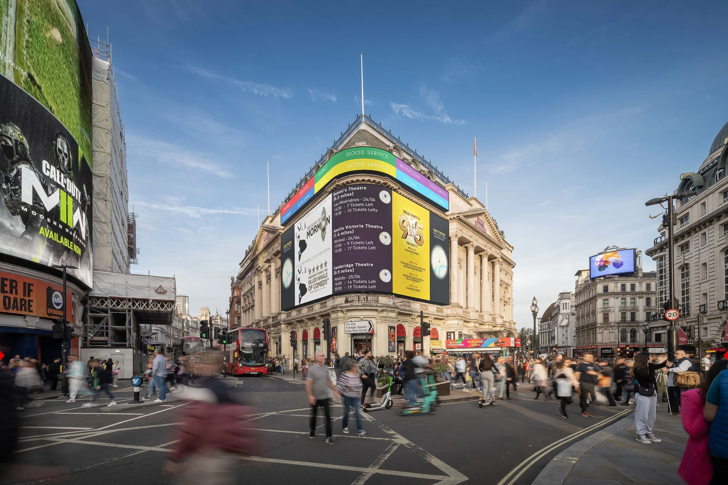
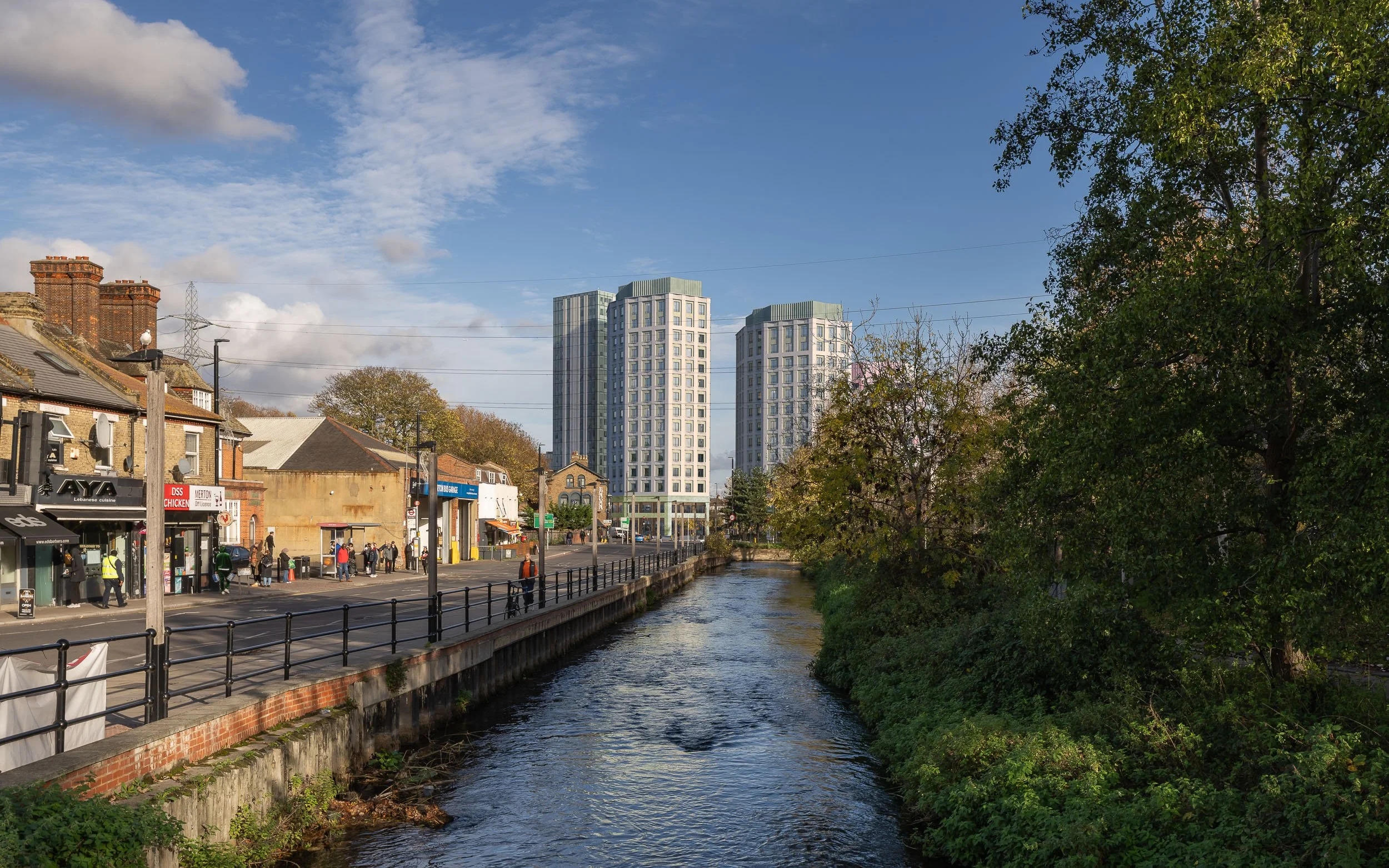
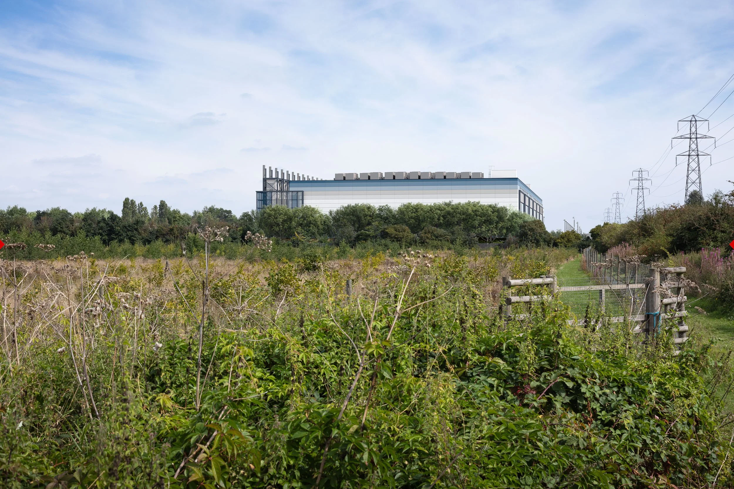
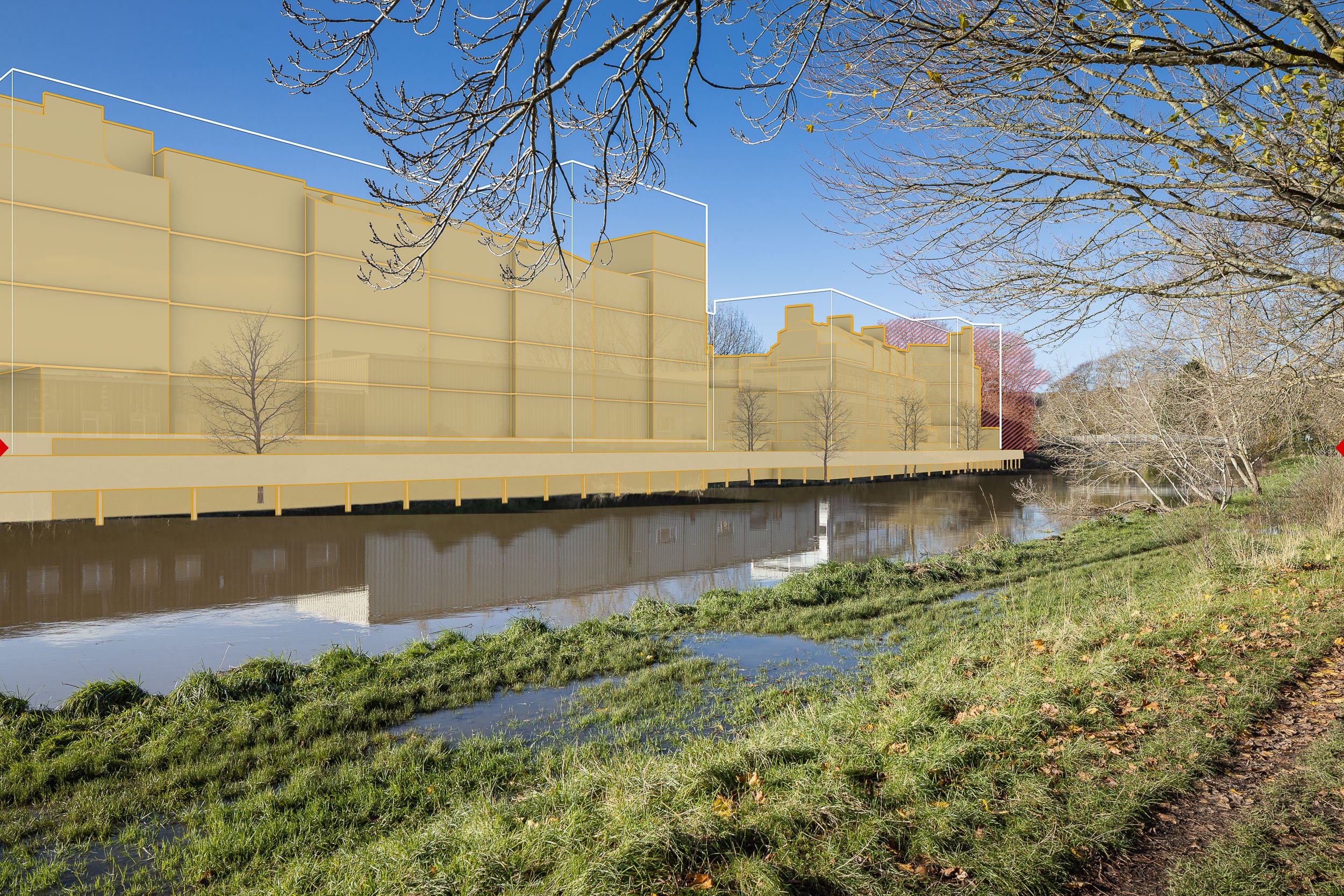
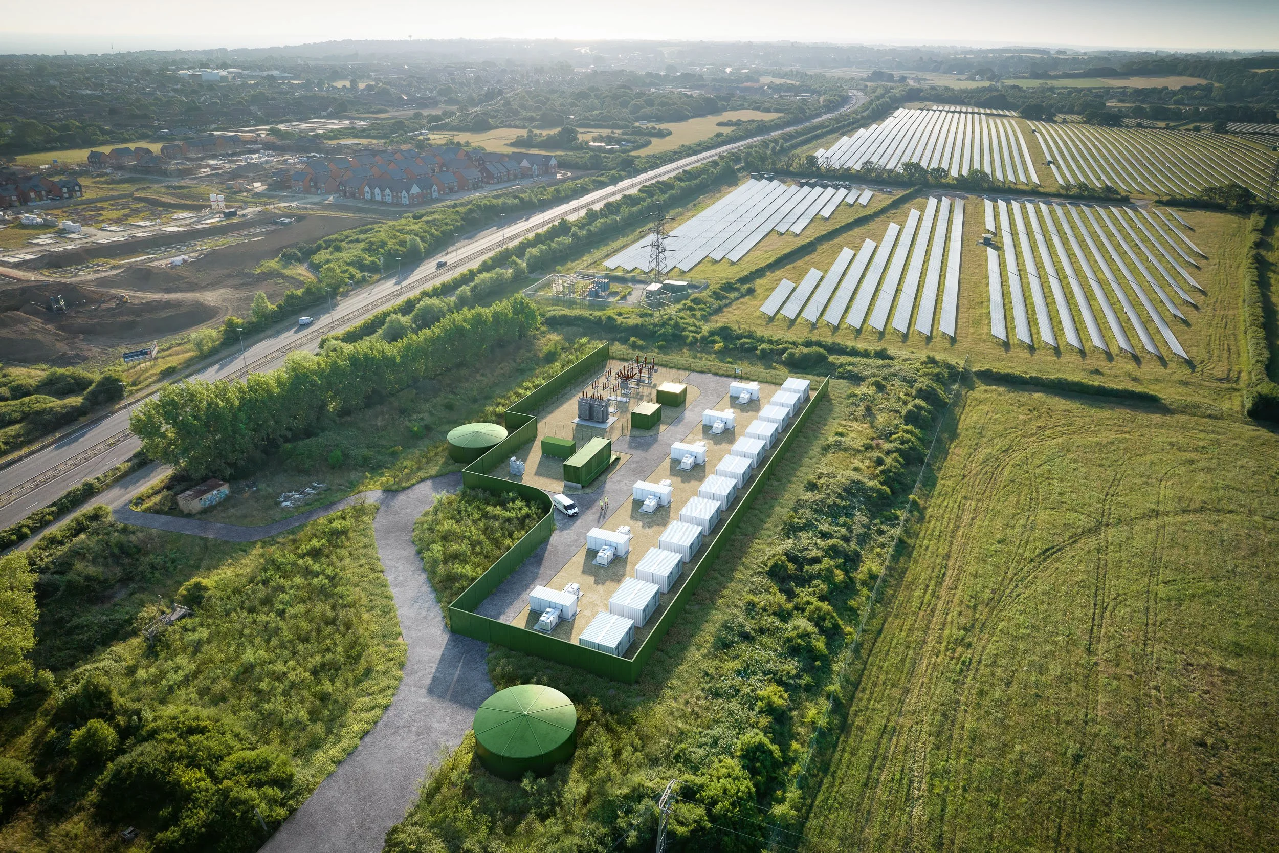
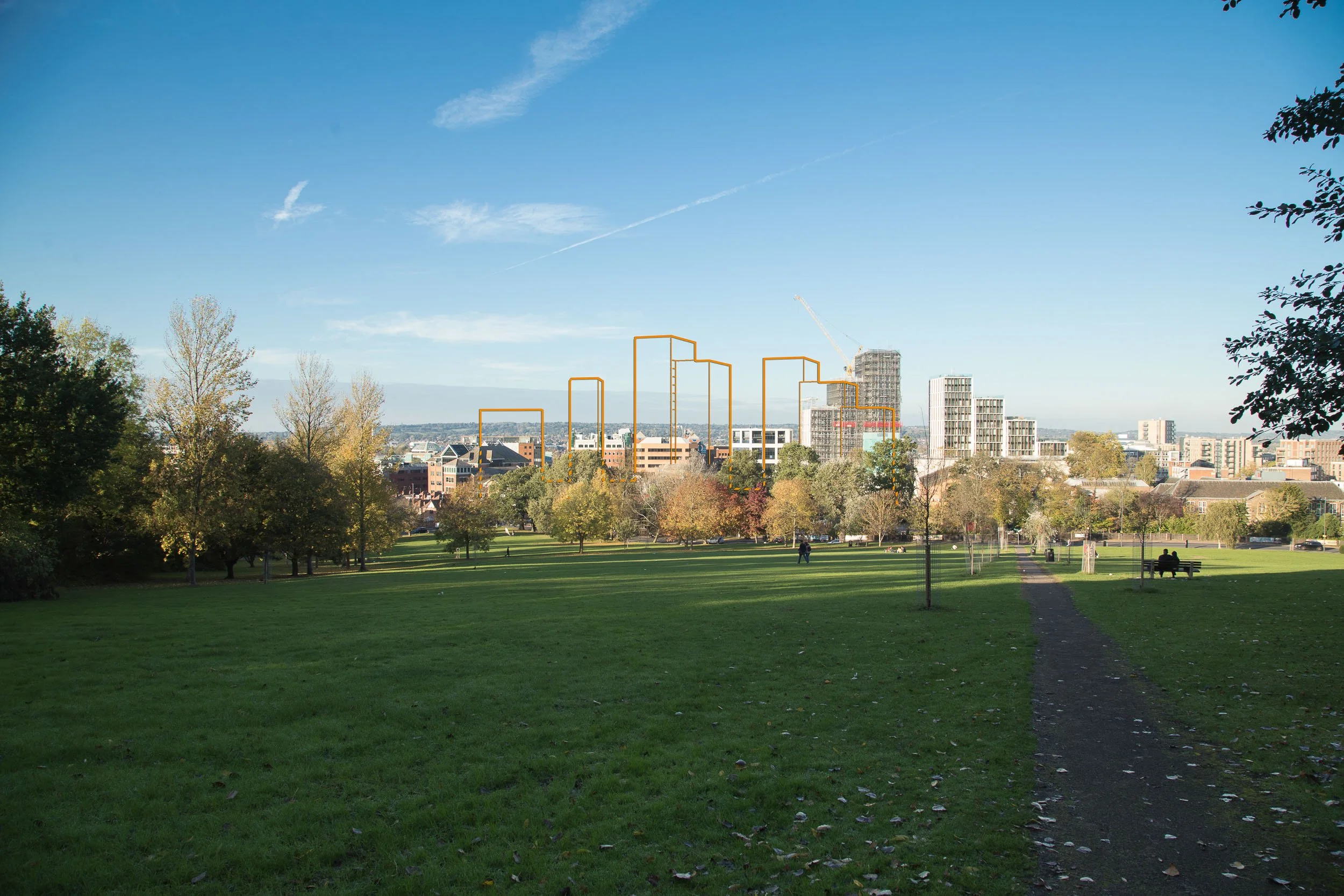
What is a Verified View?
The accuracy of many CGIs (computer-generated images) and photomontages can be questionable. Our Verified Views ensure accuracy by using precise photography, high-end survey equipment, LIDAR data and a tried-and-tested, documented methodology.
What are other names for Verified Views?
Accurate Visual Representations (AVR) ; Type-4 & Type-3 Visualisation; Visually Verified Images (VVI); Visually Verified Montages (VVM); Verified Photomontages; Verified Photography; Certified Views
Technical guidance
Let us guide you. Complicated technical guidance can give you a headache. We know it inside out. Our images follow the latest guidance, including:
Suitable for visual impact assessments & appraisals
All our verified views are backed up with a detailed methodology document providing all the data you’ll need to support your visual impact assessments, appraisals, statements & reports:
Landscape and Visual Impact Assessment (LVIA)
Townscape and Visual Impact Assessment (TVIA)
Heritage, Townscape and Visual Impact Assessment (HTVIA)
Landscape Visual Appraisal (LVA)
Townscape Visual Appraisal (TVA)
Environmental Statements
Heritage Assessments
Explore…
Selection of planning projects
View our…
Planning gallery
Our verified & non-verified views
What’s the difference?
Preconstruct - Verified view / AVR

Verified views are accurate photomontages that support planning applications. These images combine renders of a 3D digital model (representing a proposed building or landscape) with photographs, ensuring correct location, scale, and alignment. They are rigorously created to meet specific standards of accuracy and integrity.
-
Key Characteristics of Verified Views
Accuracy and Camera Matching
Camera positions are precisely matched and verified using survey data and geolocated workflows for both the digital model and viewpoint positions.
Guidance and Supporting Documentation
Verified views are supported by a detailed method statement and adhere to relevant guidance, such as the Landscape Institute’s visualisation standards (‘Type-3’ or ‘Type-4’) or the AVR principles in the London View Management Framework (LVMF). Additional regional or project-specific guidance may also apply.
Real-Life Viewpoints
Viewpoints are chosen from publicly accessible, real-life locations.
Levels of Representation
The proposed development may be depicted as a wireline, a clay/plaster render, or a realistic render with materials. See AVR ‘Level’ descriptions below.
Photographic and CGI Standards
Baseline Photography
Technical baseline photography is carefully shot using a specific methodology.
Photographs are minimally processed, with only basic colour correction to maintain natural accuracy.
Lighting, Materials, and Vegetation
CGI elements match real-world conditions, with accurate lighting, materials reflecting the architect’s intent, and vegetation depicted to proposed sizes at planting or after a specified growth period. Vegetation reflects the season of the baseline photograph.
Exclusions and Limitations
Verified views avoid subjective or atmospheric enhancements unrelated to the proposal, such as crowds, mood lighting, or other embellishments.
Preconstruct - Non-verified planning CGI / photomontage
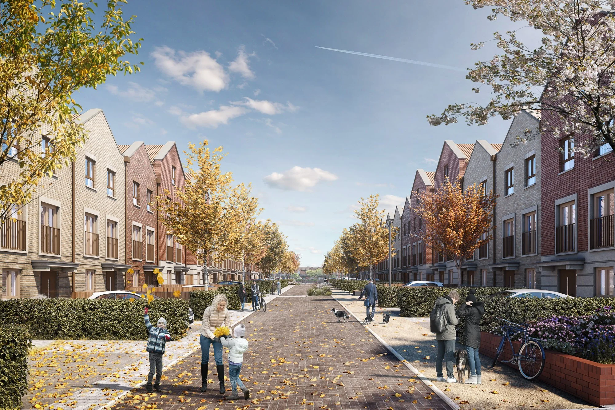
Non-verified views are often included in supporting planning documents and presentations, such as the Architect’s Design and Access Statement. These images aim to provide a visual representation of a proposed development without adhering to the technical standards of verified views.
-
While non-verified CGIs or photomontages may take creative liberties, we believe they should still demonstrate accuracy and integrity. They should represent the proposal fairly and avoid being misleading, even when crafted to evoke an emotional response, convey a particular mood, or highlight specific design elements.
Non-verified images differ from verified views in that they allow for greater flexibility in their creation. These liberties can include:
Unique Perspectives and Viewpoints
Aerial views, sectional perspectives, or viewpoints from inaccessible locations, such as the middle of a road.
Enhanced Photo Manipulations
Techniques like sky replacements, removal of temporary elements, use of unconventional lenses or projections, and dramatic colour grading.
Combining elements from multiple photographs or compositing them into a single image.
Absence of a Baseline/Existing Photograph
Unlike verified views, non-verified images may not include a "before" or baseline reference.
Illustrative or Conceptual Styles
Representations may lean toward being indicative or artistic rather than striving for photorealism.
Atmosphere and Mood
Simulated seasonal or weather conditions, such as autumn foliage, mist, or dramatic lighting, to create a specific ambience.
Scene Dressing and Post-Production
A higher level of detail, including added people, vegetation, or props, to enrich the scene.
Advanced post-production techniques, such as adding weathered textures, deliberate imperfections, or lens effects like glows and flares.
While non-verified views provide creative freedom, they should always maintain a balance between artistic expression and faithful representation to ensure their value in the planning process.
AVR Level Examples

AVR1 (Wireline) Level-1
Confirming degree of visibility.
This example — a ‘wireline’ (outline and edges) with a translucent fill. Dashed-line and no fill where occluded.

AVR2 (Clay) Level-2
Explaining architectural form.
This example — a lit render in a uniform opaque ‘clay’ material. Masked out where occluded.

AVR3 (Rendered) Level-3
Confirming the use of materials.
This example — a ‘rendered’ ‘photorealistic’ depiction. Masked out where occluded.
Beyond still images
We create tools to make the planning application process more accurate, informative and engaging.
As well as being experts in still verified views / AVR, we have a multidisciplinary approach to visually communicating the built environment. devise interactive experiences, and work with cutting-edge technologies including Virtual Reality, Augmented Reality and Real Time.
Schematic planning animation
One of two animations created to demonstrate the visibility of the proposed Frasers Group HQ in the West Midlands.
The proposed built form, landscaping and wider context were painstakingly recreated in 3D to closely represent the site's visual impact from key roads near the site.
Virtual Reality - 360° Verified Views Planning App
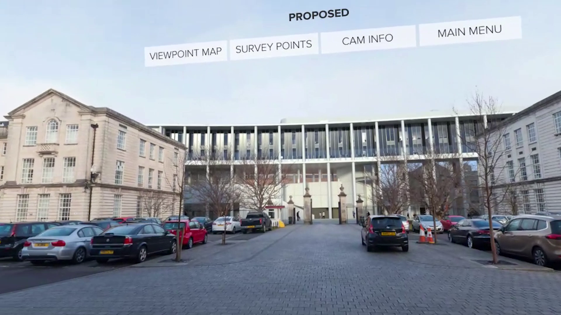
A virtual reality headset application presenting both the ‘existing’ context and the ‘proposed’ design through immersive 360-degree views of the Centre for Student Life at Cardiff University.
The landmark building, designed by Feilden Clegg Bradley Studios, secured planning approval and was completed in 2021.
We also collaborated with FCB Studios on a series of animations for the project, including the competition-winning concept film.